Exploring local: bagging summits
Alastair Humphreys has issued a challenge for 2024, to tackle the seven local summits of your neighbourhood. Inspired by Brendon Leonard (great film, go watch it!) the idea is to find seven summits to tackle. They could be the seven highest points on your local map, or seven trig points (fascinating things in themselves).
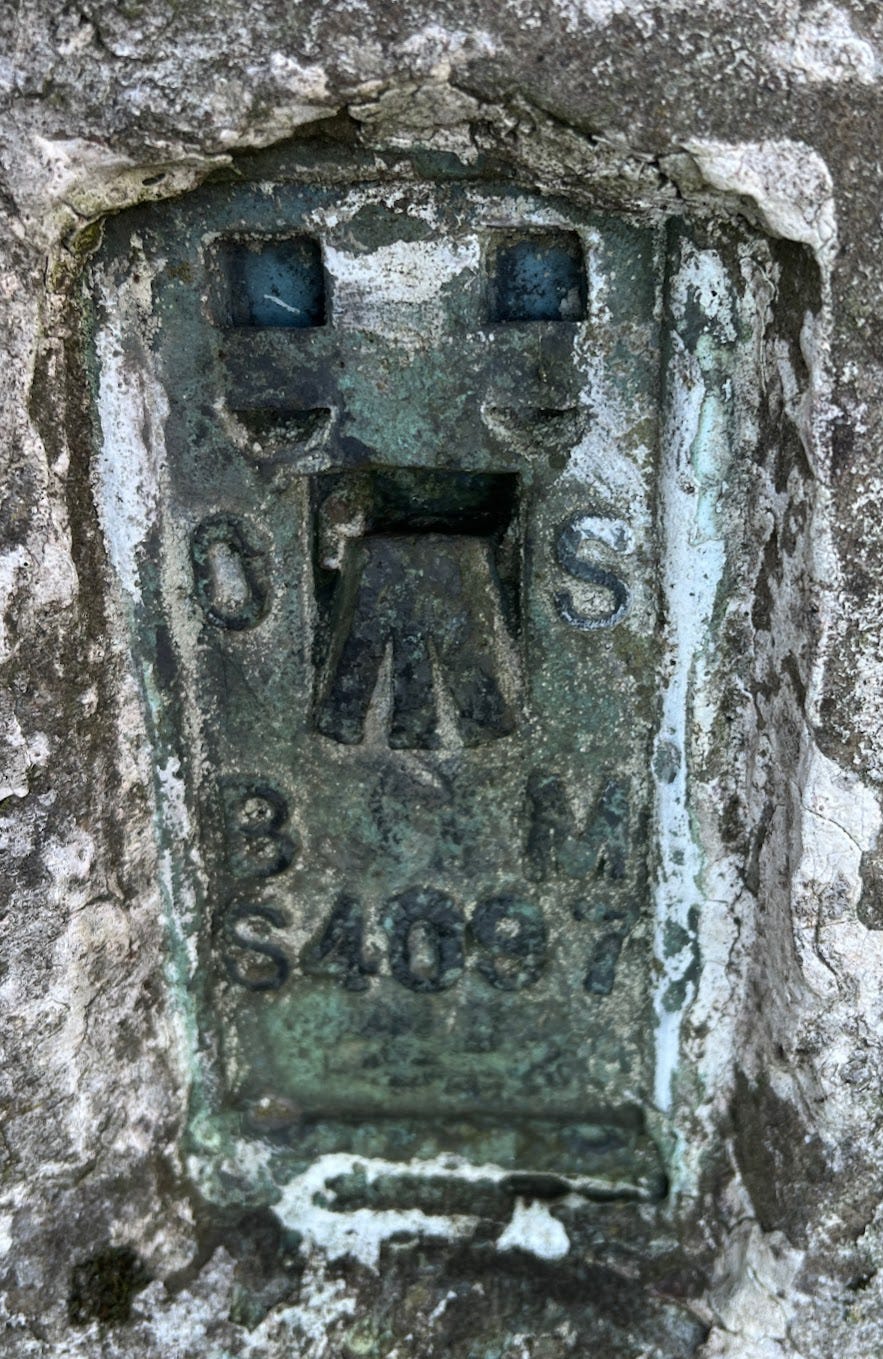
Having bought an OS map centred on where I live, I unfurled it and got to work looking for trig points near me. Then remembered that Al had helpfully pointed to this excellent trig pillar map website, which makes the job much easier!
I identified a few near my house, and finding myself with day off, blue skies and an hour to spare, decided to go for a run to see if I could find a couple of them.

Off I trotted. The first trig point I’d found on my map was about 1.4km from my house. Excellent.
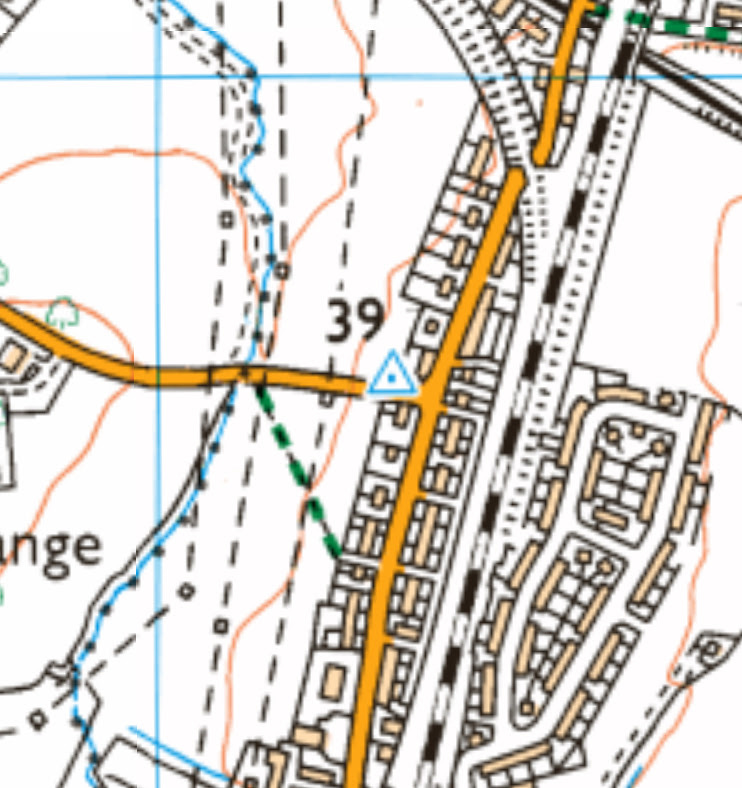
As I ran up the hill towards where the OS map said it was, I spotted a slight issue.
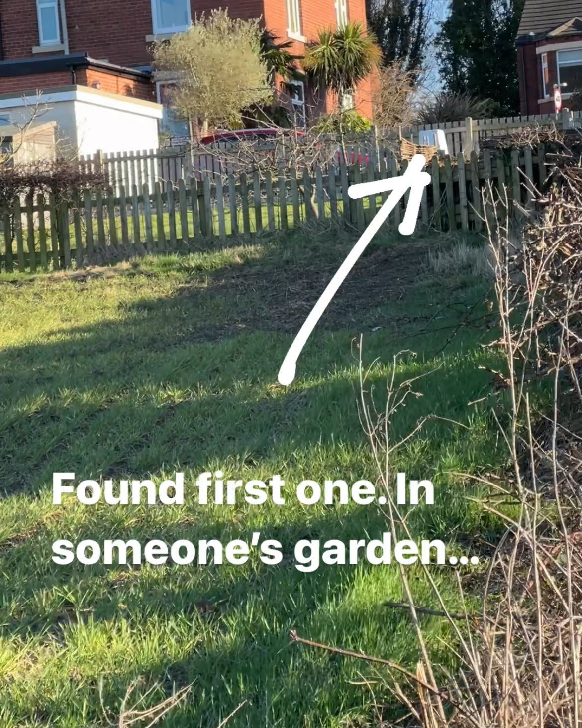
This was not off to a good start. I could *see* the trig point from further down the hill, but as I got closer the hedge got thicker. I thought (briefly) about knocking on the door and explaining the challenge and could I please go and take a photo of myself next to the trig point, but decided against it.
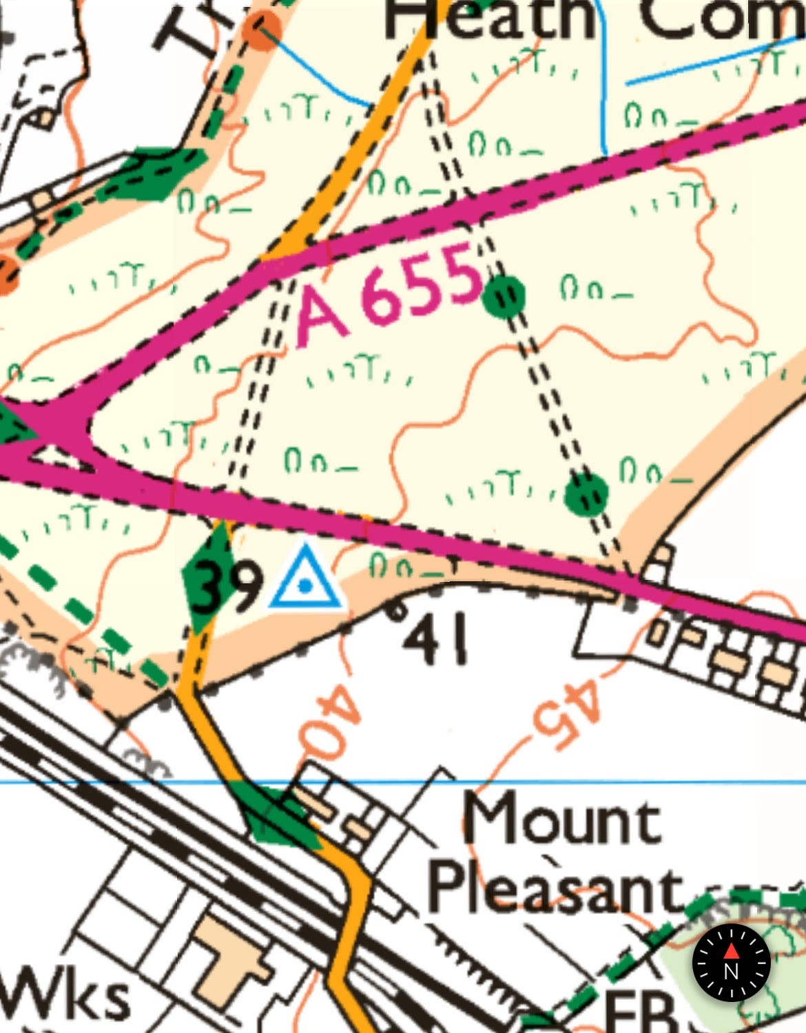
Onwards! The next point I’d identified was another kilometre and a half further along the road. It’s a beautiful day for a run, so off I go.
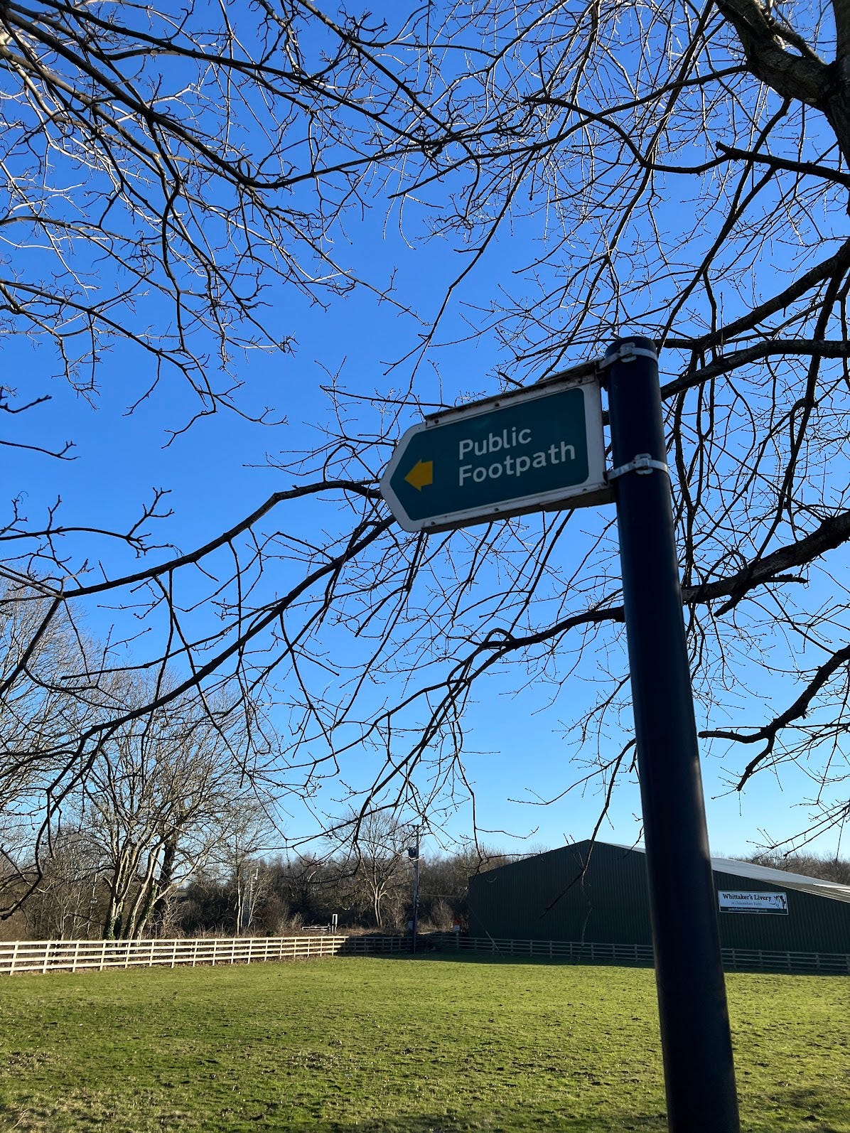
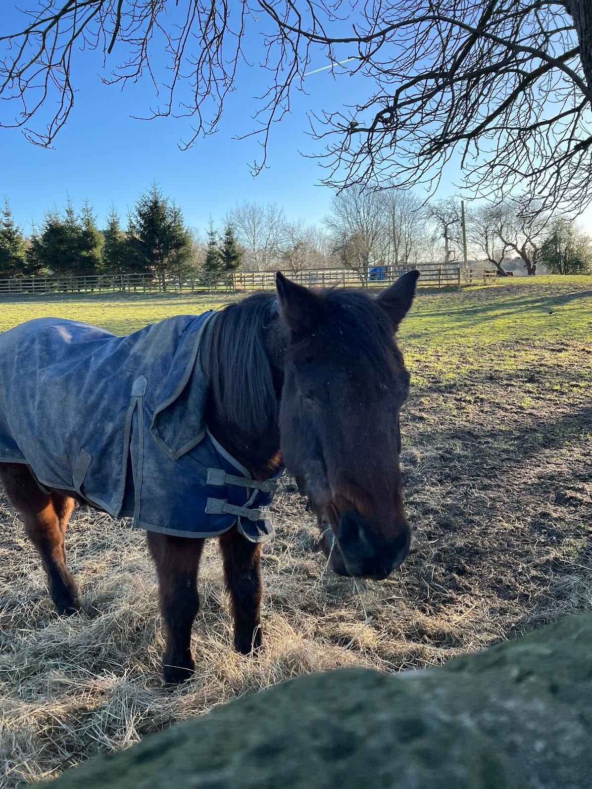
As I passed the big horse stables, I spotted a public footpath sign. It was heading in roughly the right direction and I’d always wondered where it lead, I thought why not have a bit more of an adventure. The main road, whilst fairly quiet still had a fair number of cars, so the opportunity to get off it and explore was strong.
Before long I ended up at a gate by a railway track. Stop, look and listen, kids.
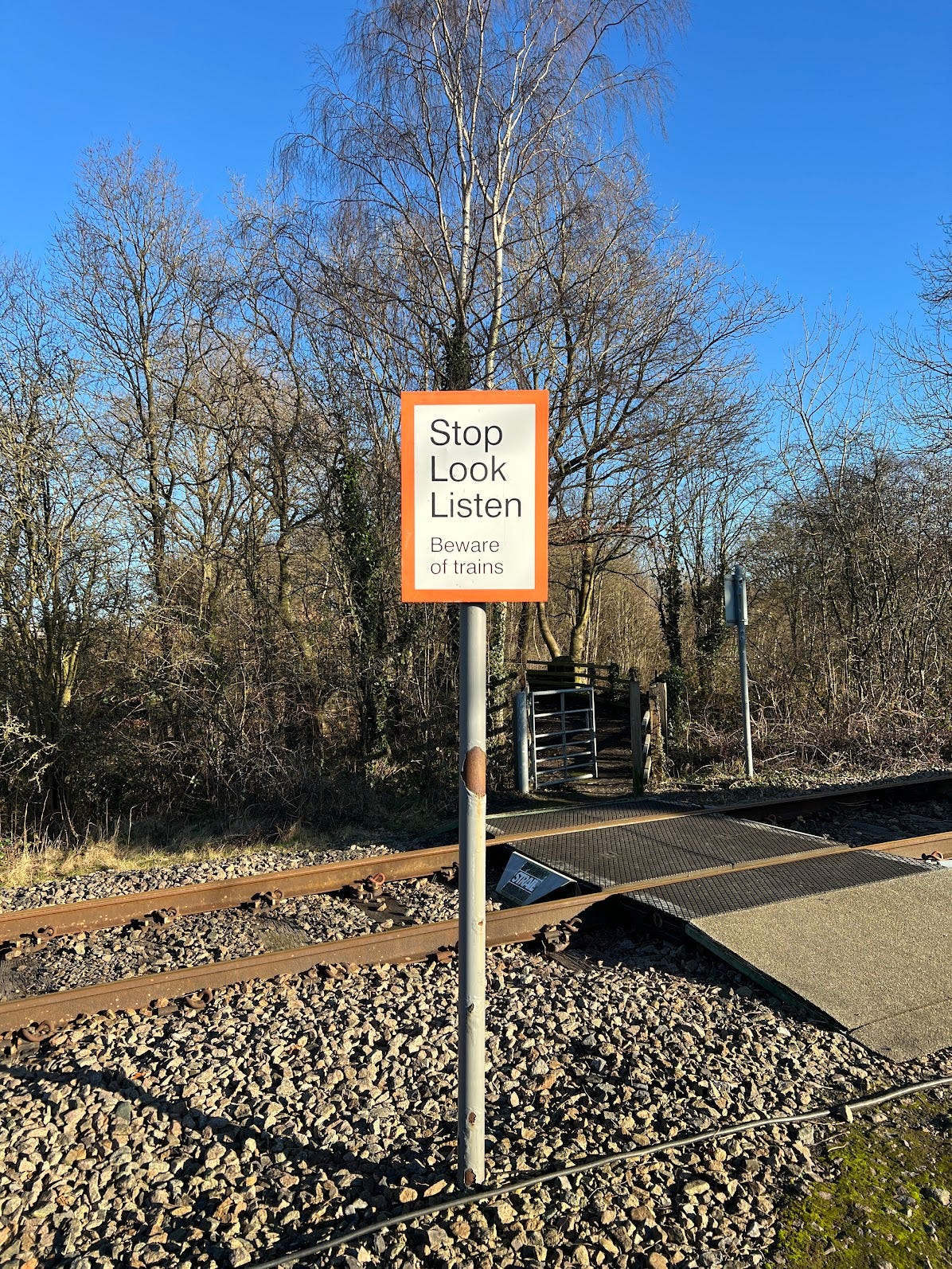
I stopped, looked and listened. No trains in sight or sound, so off I went again.
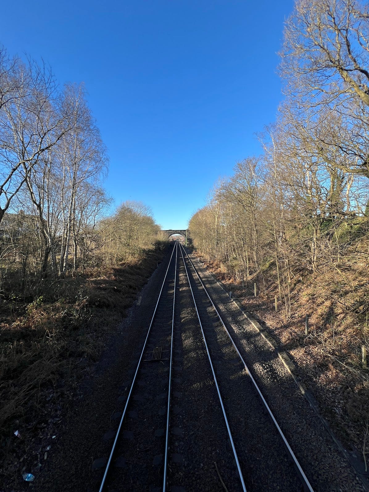
Yes, I took photos. Good excuse for a breather!
The footpath wound up to another bridge, over a different railway line.
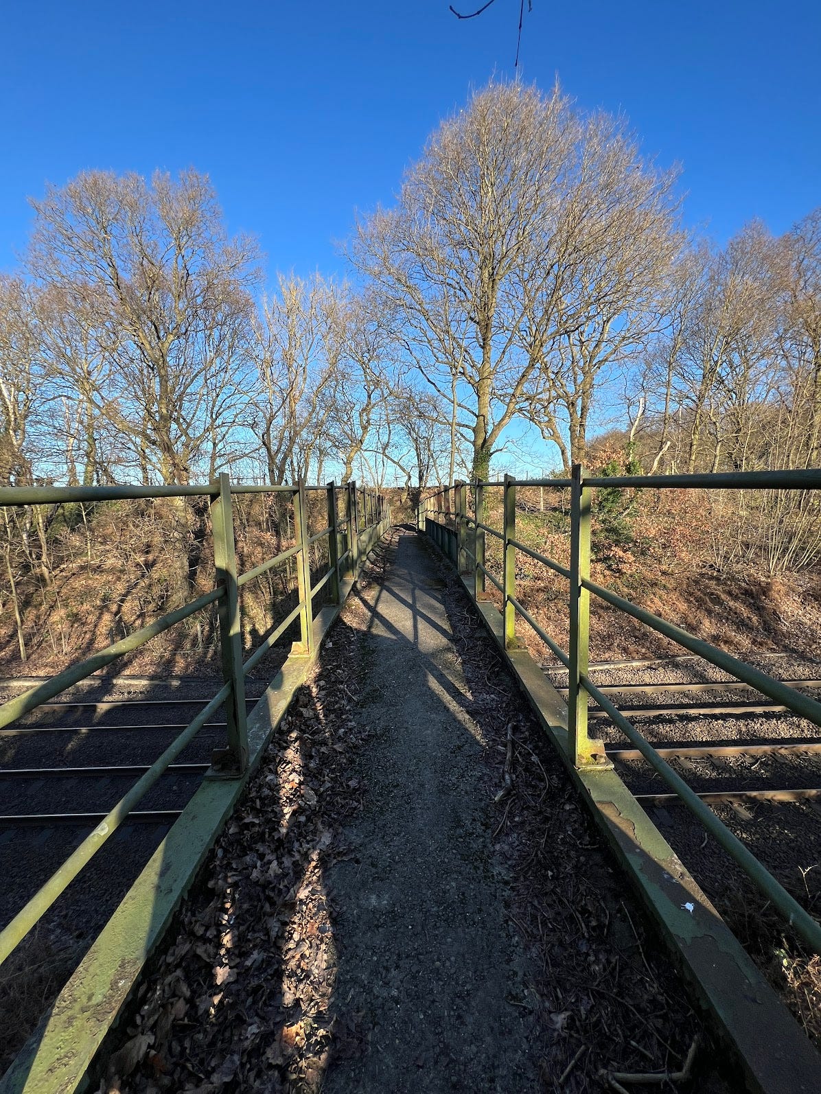
The footpath meandered past some fields, fenced on each side. It was pretty narrow but seemed pretty well maintained. Before long I ended up at the main road and turned left. I checked the OS map on my phone. Along past the houses, and on the left. Except… there was no footpath once I got past the houses, and the road was much busier than the ones I’d been running beside until now.
I picked my way along the verge, looking over the hedges to see if I might have more luck with this one.
And there it was!
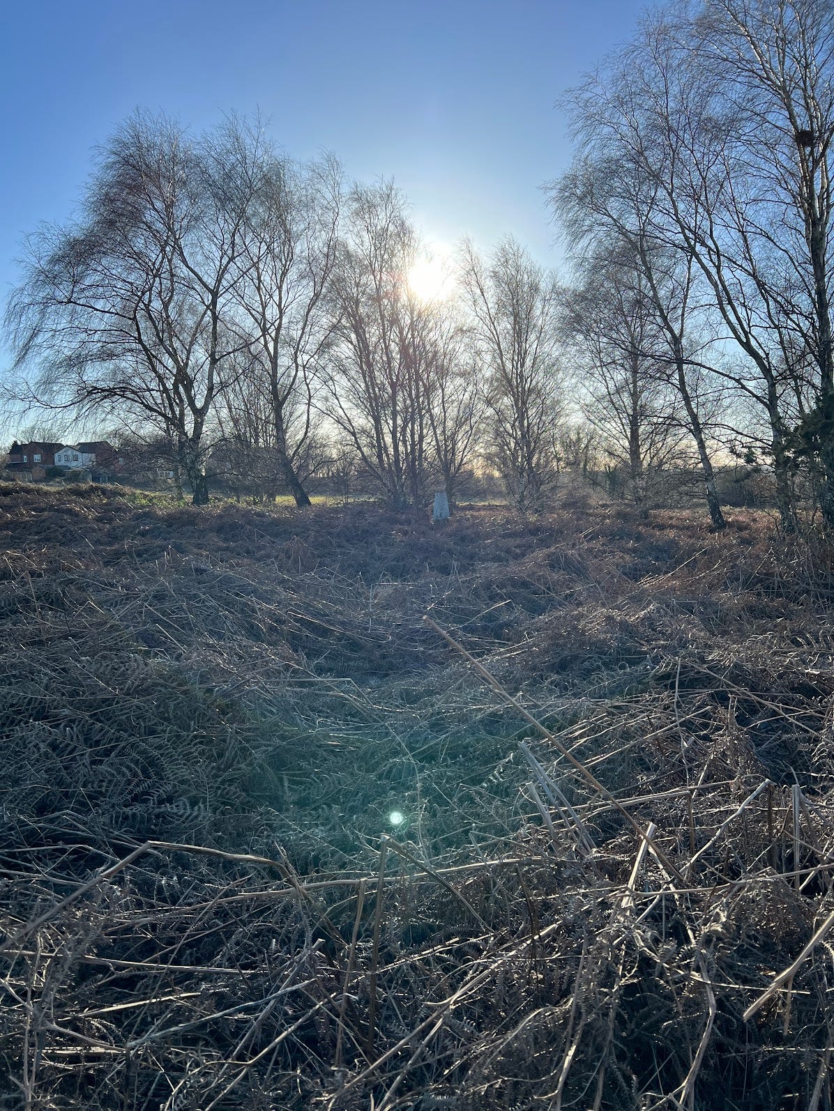
What do you mean, you can’t see it?
OK FINE. I picked my way through the various bits of undergrowth and brambles to get a bit closer.
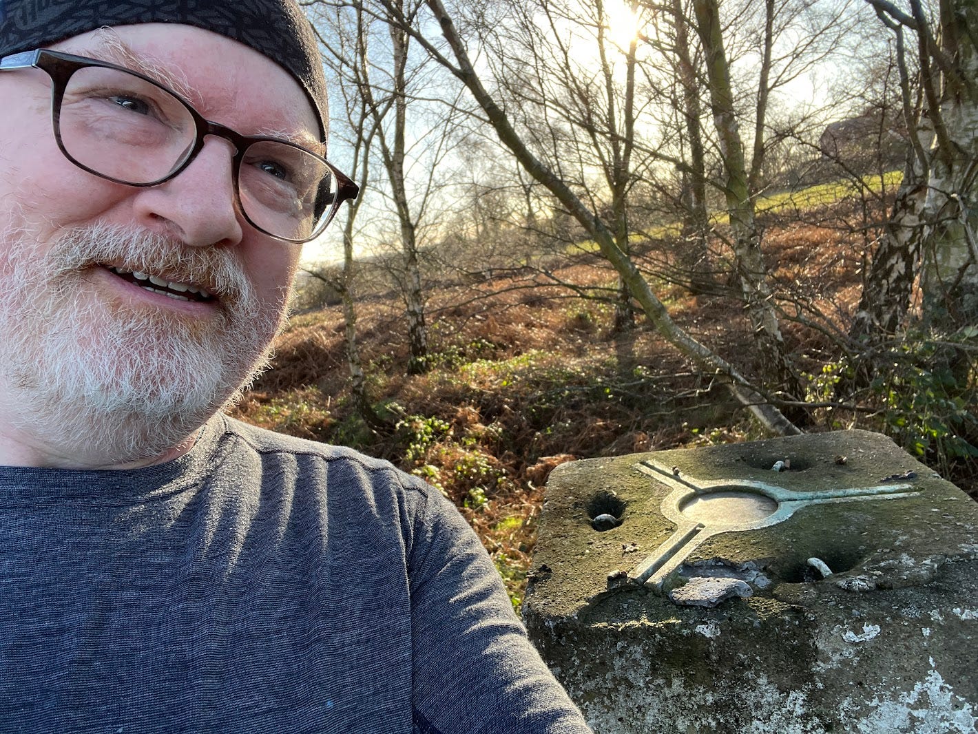
Mission accomplished! Well, a 50% success rate anyway. Not bad for a first outing. I picked my way across to the road and set off back. I had vague thoughts of looking for the third one on my list, but it was a fair way off, so I’ll leave that for another day.
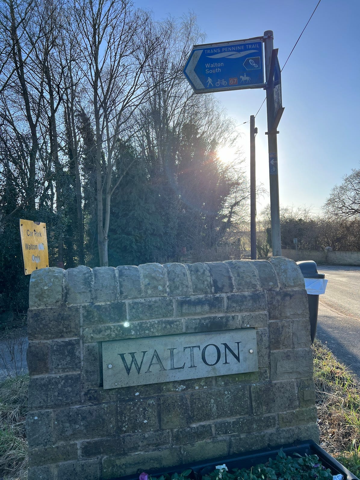
On the way back I passed a sign for the Trans Pennine Trail, and made a mental note to add that to my list of places to explore.
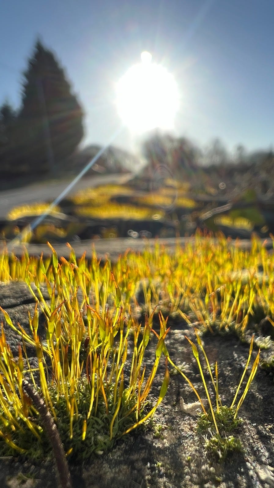
Stone walls are a great spot to sit for a moment to soak up the sun. And take arty photos of moss.
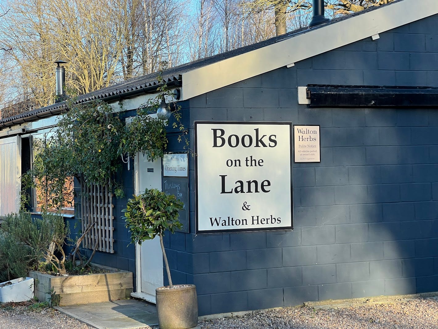
I even stumbled across a bookshop! Sadly closed, but another for the list of places to visit.
Back home, the run (yes, with a lot of walking breaks) came to 6.6km and about 50 minutes. Which also made it the furthest I’ve run this year.
I had a great time, and am looking forward to getting out more.
So, the question is whether this counts as two summits/trig points, or just one?